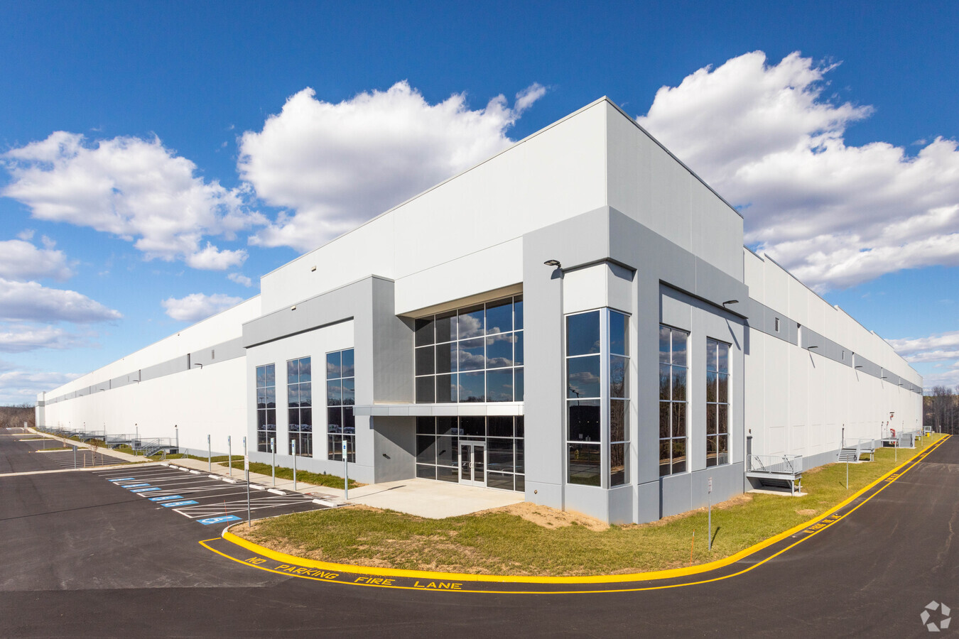
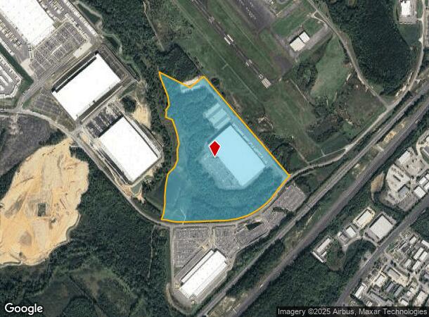
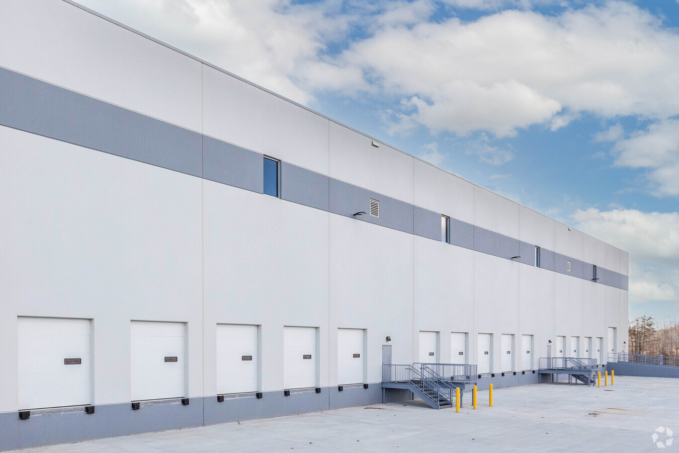
Property Record
180 Centreport Pkwy, Fredericksburg, VA 22406
NEARBY LISTINGS FOR SALE OR LEASE
Property Detail
180 Centreport Pkwy
38-14B
PARCEL 6 89.7 AC
Warehouse
Stafford
A
Virginia
51179C0139F
89.70 AC
2024
Stafford County
2024
Washington, DC
010218
Washington-Arlington-Alexandria, DC-VA-MD-WV
487,713 SF
DEMOGRAPHICS near 180 Centreport Pkwy
1 Mile
3 Mile
5 Mile
2024 Total Population
176
11,863
74,374
2029 Population
194
13,184
82,832
Pop Growth 2024-2029
+ 10.23%
+ 11.14%
+ 11.37%
Average Age
36
40
37
2024 Total Households
51
3,820
24,098
HH Growth 2024-2029
+ 11.76%
+ 11.78%
+ 11.53%
Median Household Inc
$135,000
$91,469
$122,094
Avg Household Size
3.10
2.70
3.00
2024 Avg HH Vehicles
2.00
2.00
2.00
Median Home Value
$611,111
$387,058
$417,211
Median Year Built
2011
2003
1999
Nearby Places
- Restaurants
- Banks
- Shops
- Fitness
- Groceries
PUBLIC TRANSPORTATION
COMMUTER RAIL
Brooke (Fredericksburg Line - Virginia Railway Express)
DRIVE
WALK
Distance
Brooke (Fredericksburg Line - Virginia Railway Express)
16 min
6.1 mi
Leeland Road (Fredericksburg Line - Virginia Railway Express)
DRIVE
WALK
Distance
Leeland Road (Fredericksburg Line - Virginia Railway Express)
16 min
7.1 mi
Freight Ports
Virginia Port Authority - Richmond
DRIVE
WALK
Distance
Virginia Port Authority - Richmond
89 min
71.4 mi
SALE & LEASE HISTORY
LISTING DATE
SALE/LEASE

Jul 03, 2019
For Lease
Nearby Properties
Address
Land Use
TOTAL SIZE
Lot Size
Zoning
Address
Land Use
TOTAL SIZE
Lot Size
Zoning
536,192 SF
72.22 AC
B2
Address
Land Use
TOTAL SIZE
Lot Size
Zoning
629,378 SF
81.82 AC
M1
Address
Land Use
TOTAL SIZE
Lot Size
Zoning
282,451 SF
110.89 AC
A1
Address
Land Use
TOTAL SIZE
Lot Size
Zoning
559,480 SF
36.17 AC
M1
Address
Land Use
TOTAL SIZE
Lot Size
Zoning
353,124 SF
17.78 AC
UD
Address
Land Use
TOTAL SIZE
Lot Size
Zoning
303,859 SF
77.36 AC
B3
Address
Land Use
TOTAL SIZE
Lot Size
Zoning
202,021 SF
61 AC
M1
Address
Land Use
TOTAL SIZE
Lot Size
Zoning
297,647 SF
54.88 AC
M1
Address
Land Use
TOTAL SIZE
Lot Size
Zoning
92,937 SF
540.58 AC
M1
Address
Land Use
TOTAL SIZE
Lot Size
Zoning
78,919 SF
20.28 AC
PD2
Address
Land Use
TOTAL SIZE
Lot Size
Zoning
533,520 SF
57.89 AC
M1
Address
Land Use
TOTAL SIZE
Lot Size
Zoning
146,349 SF
39.98 AC
R2
Address
Land Use
TOTAL SIZE
Lot Size
Zoning
23,299 SF
71.28 AC
M1
Address
Land Use
TOTAL SIZE
Lot Size
Zoning
77,949 SF
13.59 AC
B2
Address
Land Use
TOTAL SIZE
Lot Size
Zoning
Address
Land Use
TOTAL SIZE
Lot Size
Zoning
8,862 SF
120.49 AC
M1
Address
Land Use
TOTAL SIZE
Lot Size
Zoning
9,324 SF
245.67 AC
A1
Address
Land Use
TOTAL SIZE
Lot Size
Zoning
16,820 SF
37.60 AC
B3
Address
Land Use
TOTAL SIZE
Lot Size
Zoning
37,095 SF
12.46 AC
M1
Address
Land Use
TOTAL SIZE
Lot Size
Zoning
64,947 SF
12.02 AC
M1
Address
Land Use
TOTAL SIZE
Lot Size
Zoning
28 AC
B2
Address
Land Use
TOTAL SIZE
Lot Size
Zoning
22,053 SF
54.33 AC
R1
Address
Land Use
TOTAL SIZE
Lot Size
Zoning
80,000 SF
5.25 AC
M1
Address
Land Use
TOTAL SIZE
Lot Size
Zoning
1,986 SF
56.91 AC
A1
Address
Land Use
TOTAL SIZE
Lot Size
Zoning
27,217 SF
8.16 AC
A1
The World's #1 Commercial Real Estate Marketplace
Connect with us
© 2025 CoStar Group
The information above has been obtained from sources believed reliable. While we do not doubt its accuracy we have not verified it and make no guarantee, warranty or representation about it. It is your responsibility to independently confirm its accuracy and completeness. Any projections, opinions, assumptions, or estimates used are for example only and do not represent the current or future performance of the property. The value of this transaction to you depends on tax and other factors which should be evaluated by your tax, financial, and legal advisors. You and your advisors should conduct a careful, independent investigation of the property to determine to your satisfaction the suitability of the property for your needs.